Believe me, my young friend, there is nothing — absolutely nothing — half so much worth doing as simply messing about in boats. Simply messing… about in boats — or with boats. In or out of ’em, it doesn’t matter. Nothing seems really to matter, that’s the charm of it. Whether you get away, or whether you don’t; whether you arrive at your destination or whether you reach somewhere else, or whether you never get anywhere at all, you’re always busy, and you never do anything in particular; and when you’ve done it there’s always something else to do, and you can do it if you like, but you’d much better not.
“The Wind in the Willows“, by Kenneth Grahame.
Perhaps there is no better way to spend a summer day in Minnesota than on or near the water. That is probably why I incorporated boats wherever possible in my summer field work. Although N.H. Winchell, first state geologist, used a sailboat at times, I cannot figure out how to effectively sample from mine.
Canoes are undoubtedly the best way to navigate to glacial sediment exposures, from the Mesabi Range mine pit lakes to the towering bluffs of Minnesota River tributaries. I canoed every one of those deeply incised, southern Minnesota rivers, earning my Prairie Paddler Patch from CURE in the process.
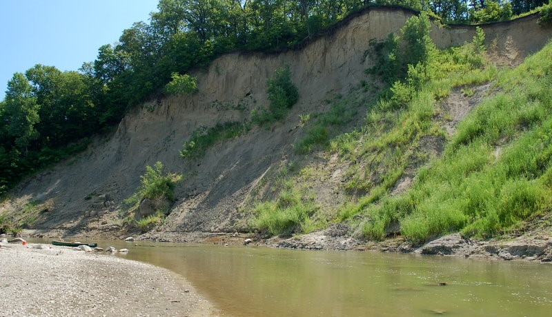
It was during the course of mapping in the Minnesota River basin that I observed how southern Minnesota rivers were often either raging muddy torrents, impossible to canoe or shallow, sluggish pools, where you spent all day dragging your boat across silt-covered boulders. The Dr. Jeckyll-Mr. Hyde behavior was a response to increased rain accompanied by increasing density of agricultural drainage. The rivers face a future of either too much water coming in all at once through the drain tiles and ditch network or too little water because it is all being sucked up and lost as corn sweat. On a recent return to these rivers, I was lost in a landscape so changed that I couldn’t recognize any of the familiar bends. Cottonwoods jammed up the rivers, ripped from both banks as the channel widened and shortened meander bends, steepening reaches; the river blown out like a straightened 4-lane highway replacing the graceful curves of a country road.
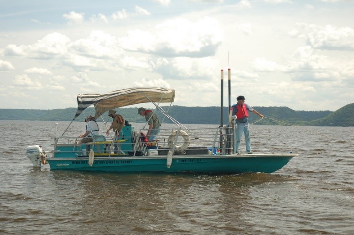
I shifted gears professionally to address the role of these rivers and their watersheds in sending sediment and nutrients downstream. I accompanied the folks at the St. Croix Watershed Research Station to re-core Lake Pepin, a natural archive for this sediment. It was a decade after their pivotal work that demonstrated how sedimentation rates to the lake had increased nearly 10-fold since European settlement. Freshwater has been helping the Lower Minnesota River Watershed District document the sedimentation rates from Chaska to the Mississippi by coring flood plain lakes. Sediment that accumulates in that reach causes levees to lose freeboard and fills in navigation channels.
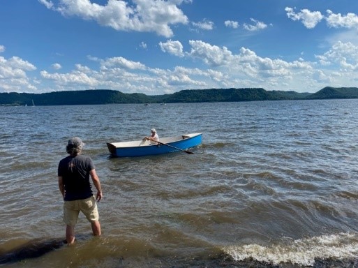
At the current rate of sediment export from the Minnesota River basin, Lake Pepin will fill up in 300 rather than 3,000 years. That is among the reasons that Freshwater supports the Minnesota Basin water storage legislation that was being discussed this session. We will continue promoting this plan to hold water back and return the rivers to more normal flow.
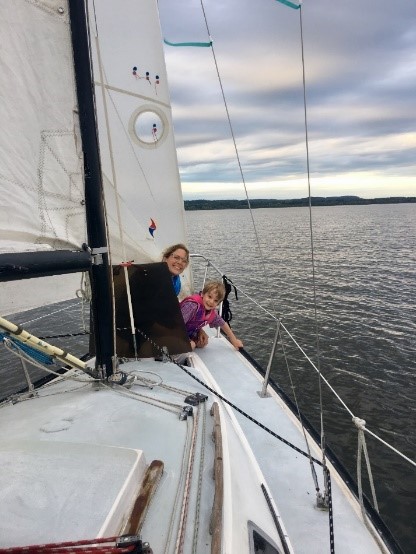
As a show of my personal commitment to finding a solution, I visit Lake Pepin whenever I can. I know, big sacrifice, right? And while messing about in boats, I check in, connect more people with water, and explain how what we do matters. Making it personal can help us all take the next step to clean water.
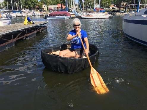
– Carrie Jennings, research and policy director